
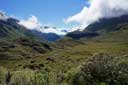
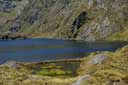
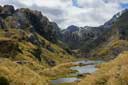
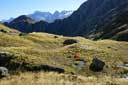
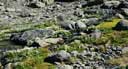
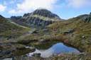
The Valley of the Trolls is north of Lake Harris, in the Route Burn; Lake Wilson is above it. It is possible to reach them in a day trip from the road, but it is better to camp. From the Harris saddle, follow a small stoat-trapper's track down to Lake Harris and on to the top of the flat in the Valley of the Trolls (1 hour). [DOC maintains a stoat trap line all the way up the valley to the col between Erebus and Xenicus to protect the rock wren population in the valley.]
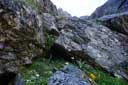
Lake Wilson can be reached from the flat via an unlikely looking gully on the true-left of the outlet torrent (40 minutes).
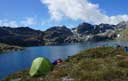
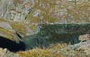
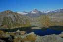
P1578 overlooking the Lake Wilson can be reached from the flat in about 2 hours (easy country). From P1578, it is possible to descend to both ends of Lake Wilson.
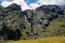
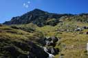
To continue up the valley to P1578, pass the first set of waterfalls on the true-right, cross the creek at an obvious spot, and then follow the true-left on easy ground high above the creek.
For more details, see Moir's Guide North p.35, 37-38, and the captions on the photos below. The photos were taken in late January 2016, early February 2019 (four photos), and January 2020 (last three photos). MAP
 |
 |
 |
 |
 |
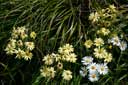 |
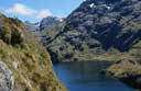
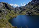
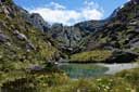
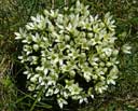
| Routeburn valley | Lake Harris | Troll valley | Troll valley | Flowers | Flowers |
 |
 |
 |
 |
 |
|
| Gully | Gully | Gully | L. Wilson | L. Wilson | |
 |
 |
 |
 |
 |
 |
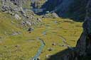
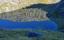
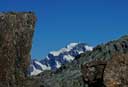
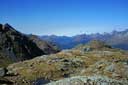
| L. Wilson | L. Wilson | Tutoko | Down valley | Mt Xenicus | L. Harris |
 |
 |
 |
 |
||
| V. of the Trolls | Camp | Flowers | Mt Xenicus | ||
 |
 |
 |
|||
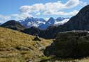
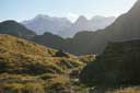
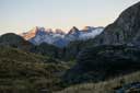
| Afternoon | Evening | Morning |
HOME
Email: ![]()
Copyright © 2016 J.S. Milne.